Nicolaus Visscher (1649-1702) belongs to the third generation of the Visscher family, a dynasty of publishers, engravers and mapmakers that dominated the Amsterdam printing scene for most of the seventeenth century. The founder, Claes or Nicolas Janszoon Visscher (1586-1652), first worked as engraver for Willem Jansz. Blaeu, then established his own shop, highly recognizable for the emblem of a fisherman (a pun based on his surname, Visscher, meaning ‘fisherman’ in Dutch). Visual references to fishermen are present in many of the maps published by the family. Claes’s son, Nicolaes (1618-1679), took over the shop, specializing in maps and atlases, and Nicolaes’s son Nicolaus, the author of our map, continued the family enterprise, which his wife will run after is death. The family business will only stop in the 1760s.
The map extends from India and the Maldives in the west to New Guinea and the southern coast of Japan in the East, centering, as by its title, on the East Indies, a vital commercial network under the influence of the Dutch East India Company. The western coast of Papua New Guinea and the area between it and the Moluccas are left undefined. The map extends to the north coast of Australia ("Nova Hollandia" New Holland), featuring a large number of place names and recent Dutch discoveries such as Cape Keerweer, the extreme point discovered during the voyage of Willem Janszoon (c. 1570–1630), the first European known to have seen the coast of Australia, in 1606; Carstensz (1623) named the place 'Keerweer' (Turnaround) seeing that the coastline after the cape turned in South West and West direction.

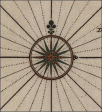
Compass Rose

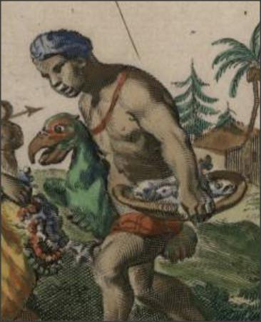
Dodo Bird
- Huigen Leeflang, “The sign of Claes Jansz Visscher and his progeny : the history and significance of a brand name”, The Rijksmuseum Bulletin 62 (2014), p. 241-268
- http://www.artoftheprint.com/artistpages/visscher_claes_nicolas_lecomtedhainaut.htm
- http://en.wikipedia.org/wiki/Nicolaes_Visscher_II
- http://en.wikipedia.org/wiki/Janszoon_voyage_of_1606 (on North Australia and Cape Keerweers)
- Elisabeth Sutton, Economics, Ethnography, and Empire: The Illustrated Travel Series of Cornelis Claesz, 1598-1603, Ph.D Dissertation, University of Iowa, 2009
- Elisabeth Sutton, “Mapping Meaning: Ethnography and Allegory in Netherlandish Cartography 1570-1655.” Itinerario: International Journal on the History of European Expansion and Global Interaction. Vol. 33 no. 3 (2009): 12-41. (on the ethnographic cartouche)
- http://en.wikipedia.org/wiki/Dodo (on Dodo birds and their extinction)


