

Sort By:
Displaying results 13961 - 13980 of 14483
-
 肉蒲團, 一名, 覺後禪
 -
 胡應麟文學思想研究
 -
 胡揚傳說 = Legend in huyang
 -
 脈(二) = Pulse (II)
 -
 腔調考原
腔調考原 -
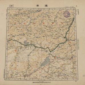 臚濱
臚濱 -
![臧書紀事詩 : [六卷]](https://lbezone.hkust.edu.hk/thumb/thumb-b948010.jpg) 臧書紀事詩 : [六卷]
臧書紀事詩 : [六卷] -
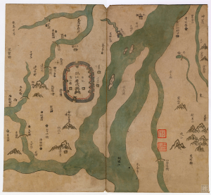 臨江府輿圖
臨江府輿圖 -
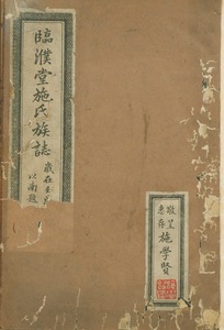 臨濮堂施氏族誌
 -
 臺中
臺中 -
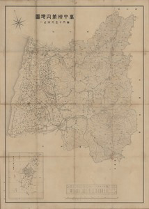 臺中州管內地圖
 -
 臺中彰化史話. 1
 -
 臺北宜蘭詳圖
 -
 臺北市街之圖 附旅舘案內
 -
 臺南
臺南 -
 臺南州管內地圖
 -
 臺東
臺東 -
 臺海擊鉢吟集
 -
 臺灣全圖
臺灣全圖 -
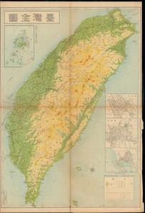 臺灣全圖
臺灣全圖
Displaying results 13961 - 13980 of 14483