

| region:Fujian Sheng | x |
Sort By:
Displaying results 1 - 7 of 7
-
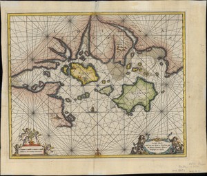 On these Islands whith are now becom a k...
 -
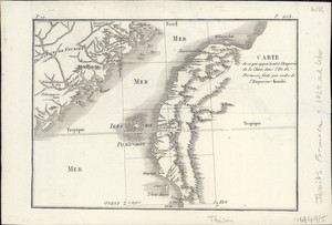 Carte de ce qui appartient à l'Empereur...
 -
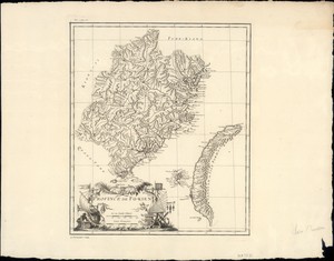 Province de Fo-kien
 -
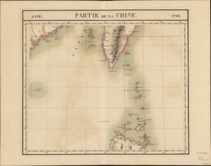 Partie de la Chine
 -
 Carte des cotes de Chine de Canton a l'e...
 -
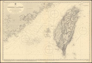 China Sea, Formosa I. and Strait
 -
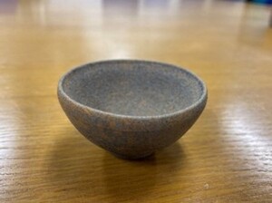 建窯素胎小杯 = A Jian ware stoneware small cup
Displaying results 1 - 7 of 7