

| region:Guangdong Sheng | x |
Sort By:
Displaying results 1 - 4 of 4
-
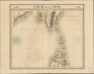 Partie de la Chine
 -
 Carte des cotes de Chine de Canton a l'e...
 -
 Coast of China : from Hainan Isld. to Hi...
 -
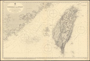 China Sea, Formosa I. and Strait
Displaying results 1 - 4 of 4