

| region:Indochina | x |
Sort By:
Displaying results 1 - 11 of 11
-
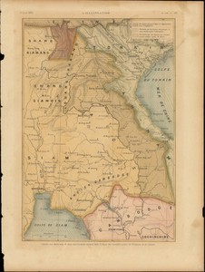
 Französische auenahme des Me-Khong, 186...
 -
 La France. IndoChine
 -
 Carte du Mekong et des territoires ayant...
 -
 Carte de l'Indo-Chine
 -
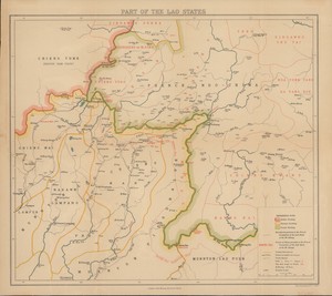 Part of the Lao States
 -
 Indo-chine carte economique
 -
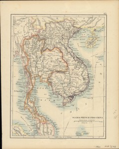 Siam & French Indo-China
 -
 Indochine : colonies & protectorats ...
 -
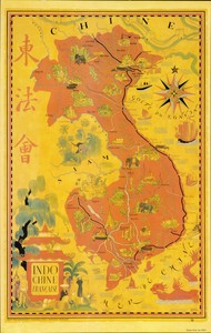 Indochine française = 東法會
 -
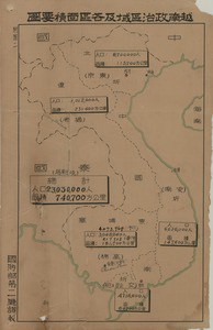 越南政治區域及各區面積要圖
 -
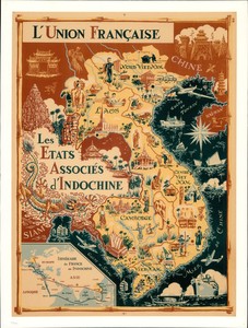 L'Union Française : les etates associé...
Displaying results 1 - 11 of 11