

| region:Jakarta | x |
Sort By:
Displaying results 1 - 7 of 7
-
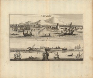
 Citadelle de Batavia
 -
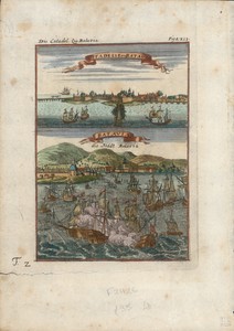
 La rade de Batavia
 -
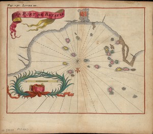 Le port de Batavia
 -
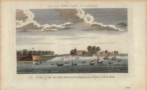 A view of the Dutch-fortifications and p...
 -
 La ville de Batavie = De stadt Batvia
 -
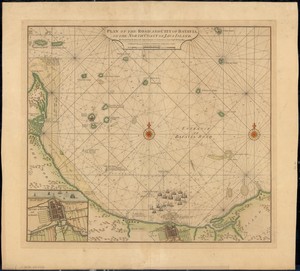 Plan of the road and city of Batavia, on...
 -
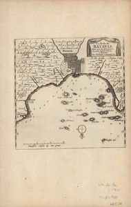
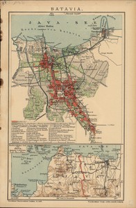 Batavia
Displaying results 1 - 7 of 7