

| region:South China Sea | x |
Sort By:
Displaying results 1 - 9 of 9
-
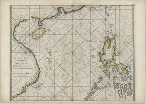 A correct chart of the China Seas contai...
 -
 A chart of the China Sea
 -
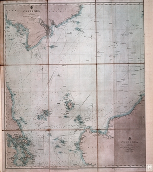 China sea
 -
 China-South Coast : Tien Pak to Macao fr...
 -
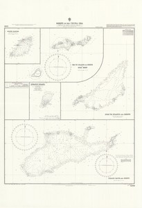 Reefs in the China Sea
 -
 China Sea, Northern portion, Eastern she...
 -
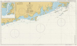 Dafangji Dao to Hong Kong
 -
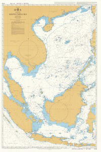 South China Sea
 -
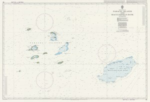 Paracel Islands and Macclesfield Bank
Displaying results 1 - 9 of 9